October 25, 2012
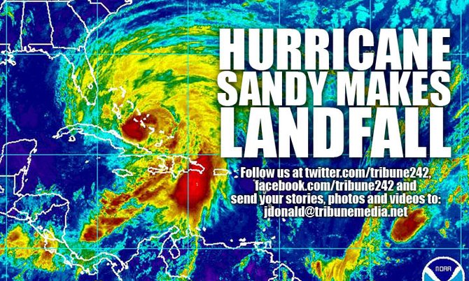
Stories this photo appears in:

2.15am UPDATE: Sandy's position and latest forecast map
Hurricane Sandy is now approximately 145 miles east-southeast of Grand Bahama and 55 miles southeast of Abaco.

12.30am UPDATE: LATEST HURRICANE FORECAST MAP
Accuweather has a new forecast eye path map for Hurricane Sandy

9.50pm UPDATE: Power issues, Bahamas Dept of Meteorology statement, new forecast map
The centre of Sandy is between Cat Island and Eleuthera.


Comments
Use the comment form below to begin a discussion about this content.
Sign in to comment
OpenID